


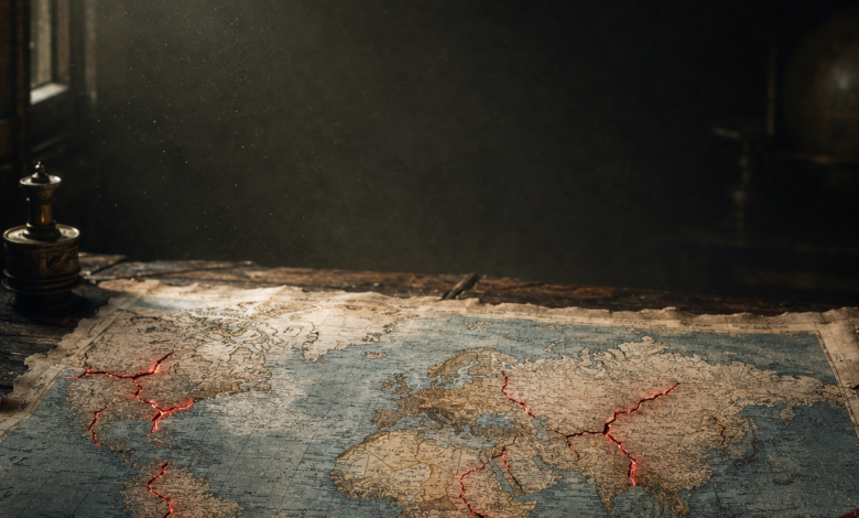
From melting Arctic frontiers to conflicts frozen for seventy years, the political map of the world is far from permanent. Ten regions. Ten lines under pressure. Here is where the twenty-first century is quietly redrawing itself.
The opening
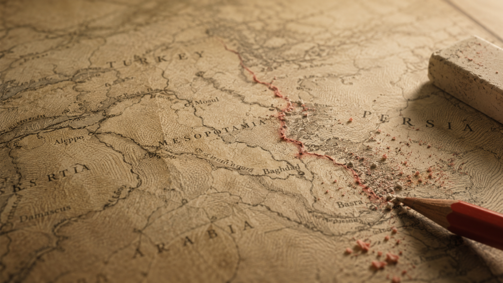
A border is not a fact of nature. It is a decision — sometimes seized, sometimes negotiated, always dated.
The twentieth century proved the point with methodical brutality. Empires collapsed, multinational states dissolved, colonies became countries, wars redrew coastlines. In a hundred years the political geography of Europe, Africa, Asia and the Middle East was rebuilt more than once.
Today almost every internationally recognised border is wrapped in law and diplomacy. And yet strategic competition, natural resources, migration, environmental change and self-determination movements keep pressing against the existing lines.

This article does not predict. It maps the pressure.
“Borders are not geographic facts. They are human agreements — and human agreements have a shelf life.”
01
The Taiwan Strait
The world’s most dangerous border does not officially exist
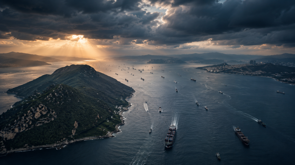
One hundred and eighty kilometres of water. That is all that separates mainland China from an island of more than 23 million people whose political status has been unresolved since 1949.
No recognised international border crosses that stretch of sea. That is precisely what makes it dangerous.
The inheritance of a civil war
In 1949 Mao Zedong’s Communist Party founded the People’s Republic of China after defeating Chiang Kai-shek’s Nationalists, who withdrew to Taiwan and continued to govern as the Republic of China.
Two governments have claimed historical legitimacy ever since. Beijing holds that Taiwan is an inseparable part of China and treats reunification as a national objective. Taiwan has become a durable democracy with an elected government, a constitution, an army, courts, a currency and its own economic institutions. Most Taiwanese favour the status quo, but views diverge on where it leads — prolonged ambiguity, unification, or formal independence.
A position worth more than the island
Taiwan sits at a hinge of the First Island Chain, the arc running from Japan to the Philippines that structures the strategic balance of the western Pacific.
Control of the island would shape access to sea lanes carrying trillions of dollars of trade every year. It would also shift military positioning across East Asia, altering the security calculus for Japan, South Korea and the Philippines alike.
The semiconductor factor
The island hosts some of the most advanced chip fabrication plants on earth. Those processors power smartphones, artificial intelligence systems, medical equipment, cars, cloud infrastructure and defence technology.
A serious disruption to that output would reach the global economy within weeks. As digital systems become the base layer of economic security, Taiwan’s semiconductor ecosystem has become a planetary strategic asset.
“The Taiwan Strait is not a line on a map. It is the intersection of great-power rivalry, democratic governance, technological leadership and global supply chains.”

Pressure rising
Beijing has expanded naval patrols, staged large-scale exercises and increased aircraft operations near Taiwan’s air defence identification zone, while modernising its forces at an unprecedented pace.
Taipei has answered with stronger defensive capabilities, military service reform and asymmetric strategies designed to raise the cost of any assault.
Washington, under the Taiwan Relations Act, continues defensive support while maintaining deliberate strategic ambiguity: never specifying the exact circumstances in which it would intervene. The aim cuts both ways — deterring a unilateral declaration of independence and deterring the use of force.
Four possible futures
- The prolonged status quo — currently the most likely. De facto self-government, without formal independence or reunification.
- Negotiated de-escalation — wider economic cooperation and confidence-building. Politically hard, but the cheapest path.
- Graduated coercion — economic pressure, cyber operations and sustained military intimidation short of open conflict.
- Armed confrontation — the most dangerous. It would draw in regional and global powers within days.
| Why it matters The real question is not whether the border will move, but how its political status will evolve — and whether that evolution can happen without destabilising the wider world. |
02
Ukraine and Russia
Europe’s most consequential territorial conflict since the Cold War
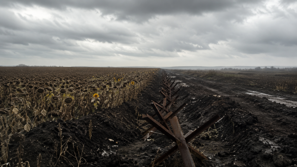
For decades Europe believed the era of changing borders by force was over. Ukraine ended that assumption.
From Soviet collapse to fault line
Ukraine became independent in 1991 with internationally recognised borders — Crimea and the industrial regions of Donetsk and Luhansk included.
For years Kyiv balanced between Moscow and Brussels. The balance broke in late 2013, when the suspension of preparations for an association agreement with the European Union triggered mass protests and, in early 2014, the departure of President Viktor Yanukovych.
Crimea, the turning point
In March 2014 Russian forces took control of the peninsula. A locally organised referendum — its legitimacy widely disputed internationally — preceded the announcement of its incorporation into the Russian Federation.
Most states and the United Nations still recognise Crimea as Ukrainian. It was the first widely recognised change to a European border by military intervention since the post-Cold War order took shape.
Donbas, then 2022
In the east, armed groups proclaimed self-declared republics. Eight years of intermittent fighting followed, despite the Minsk agreements.
In February 2022 Russia launched a full-scale invasion along multiple axes. The war spilled far beyond the disputed regions and transformed European security policy: defence budgets rose, military cooperation deepened, and assumptions thirty years old were reopened.
“The front line moves. The legal map does not. The future of the international order is being decided in that gap.”
More than territory
For Kyiv the war is a defence of sovereignty and recognised borders. Moscow frames it in terms of national security, historical ties and regional strategic interest.
For many observers the stake is larger still: whether internationally recognised borders can be altered by force at all.
How it could end
- Continued military operations that shift territorial control.
- A negotiated ceasefire establishing temporary lines of separation.
- Comprehensive peace talks covering sovereignty and security guarantees.
- A long-term frozen conflict with no definitive political settlement.
| Why it matters History suggests disputes of this scale take years, sometimes decades, to resolve. What is already settled is this: the territorial question has returned to the centre of European politics. |
03
The South China Sea
Where the world’s most contested maritime borders converge
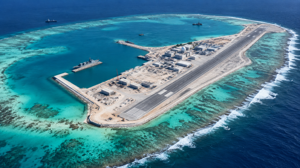
There is no mountain here, no river, no fence. There are reefs, shoals, islets and maritime zones. Across 3.5 million square kilometres, six sets of claims overlap.
A sea claimed by everyone
The principal claimants are China, Vietnam, the Philippines, Malaysia, Brunei and Taiwan.
Each grounds its case in a different mix of historical record, geographic proximity, colonial-era administration, effective occupation or interpretation of maritime law. The claims stack most heavily around the Spratlys, the Paracels and Scarborough Shoal.
What the rocks are really worth
Seen up close, most of these features are nothing. Their value lies in what surrounds them.
A substantial share of world trade crosses these waters each year, linking East Asia to Europe, the Middle East, Africa and the Americas. The seabed is thought to hold significant hydrocarbon reserves, and the waters rank among the richest fishing grounds on earth — a direct food-security question for millions of people.
“This is not a quarrel over islets. It is a live test of how the world arbitrates competition between powers.”
Law against fact
The UN Convention on the Law of the Sea grants coastal states an exclusive economic zone reaching up to 200 nautical miles. In the South China Sea those zones overlap, and some historical claims extend well beyond that framework.
In 2016 an arbitral tribunal constituted under the Convention, in a case brought by the Philippines, found that several expansive Chinese claims lacked legal basis. Beijing rejected the ruling. Law and operational reality have diverged openly ever since.
Artificial islands and freedom of navigation
The past decade has seen disputed reefs turned into permanent installations — airstrips, ports, radar. Other claimants have expanded their own outposts, generally on a smaller scale.
The United States conducts regular freedom of navigation operations. Several European states, along with Australia, Japan and Canada, have increased naval presence across the Indo-Pacific.
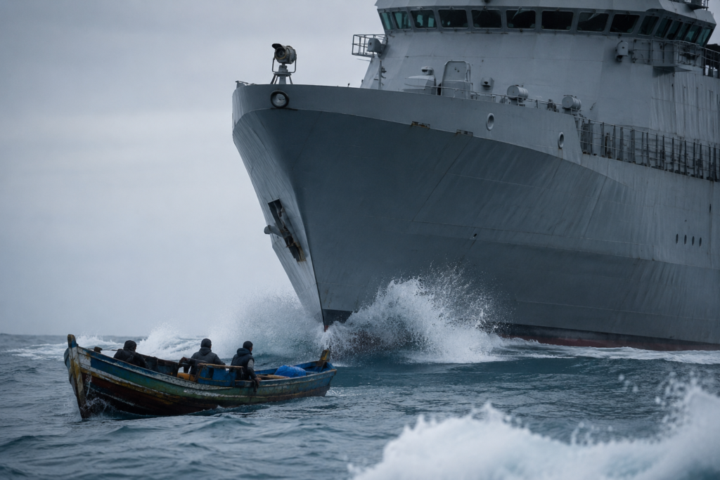
| Why it matters No claimant appears to want open conflict. But fishing vessels, coast guard ships, naval patrols and surveillance aircraft operate constantly within close range of one another. The risk is not decision. The risk is miscalculation. |
04
The Arctic
When the climate redraws the map
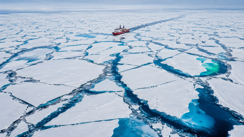
For centuries the Arctic was treated as strategically irrelevant: a frozen expanse that resisted settlement and commerce.
That reading is collapsing. And for the first time in this article, the force moving the line is not an army. It is temperature.
The fastest-changing region on earth
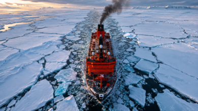
The Arctic is warming markedly faster than the global average — the phenomenon known as Arctic amplification. Sea ice is losing both extent and thickness, permafrost is thawing, coastlines are eroding.
The immediate geopolitical consequence is accessibility. Areas once permanently frozen are now navigable for months at a time.
Three routes that shorten the world
- The Northern Sea Route, along Russia’s Arctic coastline.
- The Northwest Passage, threading through the Canadian Arctic Archipelago.
- The Transpolar Route, a potential corridor crossing directly over the central Arctic Ocean.
These could cut Europe-Asia transit times substantially against Suez or the Cape of Good Hope. But unpredictable weather, thin infrastructure and seasonal ice keep them complementary rather than substitutable, for now.
“Here the border does not retreat under pressure from an army. It retreats under pressure from a thermometer.”
Five coastal states, one legal framework
Russia, Canada, the United States through Alaska, Norway and Denmark through Greenland border the Arctic Ocean. Each holds sovereign rights over its territorial waters and exclusive economic zone.
Beyond that, governments may submit scientific evidence to the UN Commission on the Limits of the Continental Shelf — notably around the Lomonosov Ridge, which several countries argue is a natural extension of their own shelf.
Which produces an unusual situation: geology carries as much weight as diplomacy. Survey data is a legal argument.
Competition, still peaceful
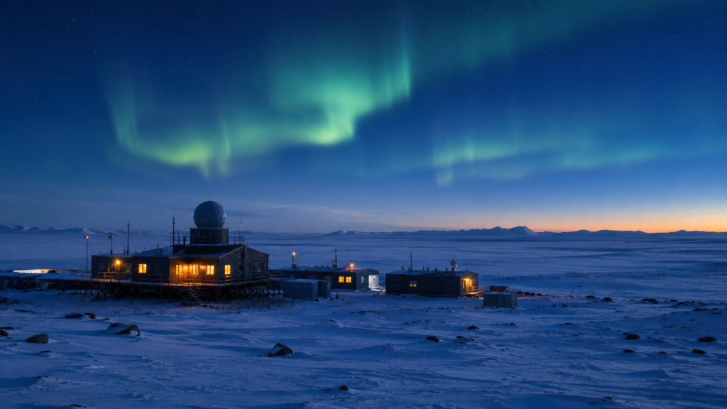
Russia holds the longest Arctic coastline and has invested heavily — icebreaker fleets, modernised ports, military installations, scientific research. Other Arctic states have expanded surveillance, infrastructure and coast guard capacity.
The Arctic Council, comprising the eight Arctic states and Indigenous Permanent Participants, remains a forum for scientific and environmental cooperation, though wider geopolitical tension has affected its work.
| Why it matters The Arctic shows that in this century some of the most important borders are being redrawn not by armies or revolutions, but by the climate of the planet itself. |
05
Kosovo and Serbia
Europe’s unfinished border
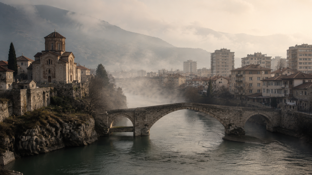
A quarter of a century after the war, Kosovo functions as a state. Its international status does not. It is one of the few places on earth where political reality and diplomatic recognition do not line up.
Two memories, one ground
Kosovo occupies a central place in Serbian identity: medieval kingdoms, major Orthodox monasteries, and the Battle of Kosovo in 1389, long since a national symbol.
But the demographic composition shifted over the centuries. The population today is overwhelmingly ethnic Albanian, with Serbs forming a minority concentrated in the north and in several enclaves.
From Yugoslavia to independence
Kosovo held varying autonomy inside Yugoslav Serbia before tensions escalated in the 1990s between Serbian forces and the Kosovo Liberation Army. The conflict peaked in 1998-99 with mass displacement and a humanitarian crisis.
In 1999, following NATO intervention, Serbian forces withdrew and the territory came under interim United Nations administration through Security Council Resolution 1244.
On 17 February 2008 Kosovo’s Assembly declared independence. The territory built a constitution, an elected government, a parliament, courts, security institutions and diplomatic representation abroad.
More than a hundred UN member states recognise it. Serbia — supported notably by Russia and China — continues to regard it as an integral part of its territory. Kosovo is not a UN member: admission runs through the Security Council, where permanent members hold a veto.
“Borders are not drawn by maps alone. They are drawn by history, identity, law and recognition.”

The north, and the Brussels dialogue
The northern municipalities, where ethnic Serbs form a majority, remain the most sensitive point: municipal governance, policing, judicial authority, elections, public administration.
For more than a decade the European Union has facilitated dialogue between Belgrade and Pristina. Agreements have improved practical cooperation — border crossings, customs, telecommunications, energy. The politically decisive questions, mutual recognition and final status, remain open.
| Why it matters The Kosovo file touches principles that reach well beyond the Balkans: self-determination, territorial integrity, recognition of new countries, peaceful settlement of disputes. It has become a reference point in every global debate about secession. |
06
Israel and the Palestinian Territories
A border yet to be defined
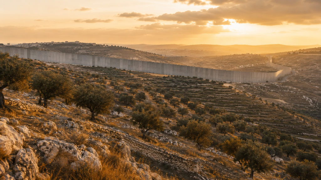
Seven decades of international diplomacy have not produced a final line. This is one of the very few borders in the world that has never been fully and durably agreed by both parties.
Origins
The roots reach back to the last years of the Ottoman Empire and the period of the British Mandate for Palestine. Two national movements, Jewish and Arab, advanced competing claims to self-determination in the same territory.
In 1947 the United Nations proposed a partition plan envisaging two states and a special international status for Jerusalem. It was accepted by many Jewish leaders and rejected by many Arab leaders. The establishment of the State of Israel in 1948 was followed by war with neighbouring Arab states, producing significant displacement and leaving the territory divided differently from the original proposal.
Three places at the centre
The West Bank, west of the Jordan River, has been under Israeli military occupation since the 1967 war. Millions of Palestinians live there, alongside numerous Israeli settlements established over decades. Administration is split between the Palestinian Authority in some areas and Israeli authority in others.
East Jerusalem holds a unique position because of its religious, historical and political significance to Jews, Muslims and Christians. Israel regards Jerusalem as its capital; Palestinians see East Jerusalem as the capital of a future state. The city’s final status is consistently the hardest point in any negotiation.
Gaza is a narrow coastal strip. Israel withdrew its settlements and permanent military presence in 2005. Since 2007 the territory has been governed internally by Hamas, while Israel maintains it holds security responsibilities affecting access. Egypt controls one of the crossings. The humanitarian, economic and security situation has been the subject of sustained international concern.
“The 1949 Green Line was never a border. It was an armistice line. Seventy-five years on it remains the only shared reference — and no one agrees on what it means.”
The open questions
- Where should the final border run?
- Which areas, if any, might be exchanged through mutually agreed land swaps?
- What becomes of Israeli settlements in the West Bank?
- How would transport corridors connect Palestinian communities?
- What security arrangements would protect both populations?
These questions are interlocked, which is what makes border negotiation here so technically and politically punishing.
Mediation
The United States, the European Union, the United Nations, Egypt, Jordan, Qatar and others have each played a role at different moments. The Oslo Accords, the Camp David Summit and the Road Map for Peace produced sectoral progress but no final settlement accepted by both parties.
| Why it matters The two-state framework remains the reference point for most international diplomatic effort. Other formulas — confederation, shared sovereignty — are discussed by scholars and policymakers with widely varying levels of support. |
07
Kashmir
The Himalayan border that shapes South Asian security
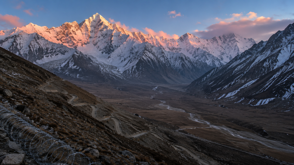
This is one of very few territorial disputes on earth involving three nuclear-armed states.
1947: the starting point
At the partition of British India, the princely state of Jammu and Kashmir, ruled by Maharaja Hari Singh, had to choose its accession. After an armed uprising and the entry of tribal forces from areas that became Pakistan, the Maharaja signed the Instrument of Accession to India.
New Delhi accepted and deployed troops. Islamabad disputed the decision, arguing that the predominantly Muslim population should have determined the outcome. The First Indo-Pakistani War followed in 1947-48.
The Line of Control
The UN-mediated ceasefire did not create an international border. It created a military demarcation that would become the Line of Control.
It separates Indian-administered areas from Pakistani-administered ones. It functions as a de facto boundary without being recognised as a legal one. It is among the most militarised lines on the planet.
The third player
China administers Aksai Chin, in the east of the wider region, which India considers part of the union territory of Ladakh. Beijing also holds territories obtained through historical agreements with Pakistan, likewise claimed by New Delhi.
Kashmir is therefore one of the rare places where the territorial interests of India, Pakistan and China intersect at once.
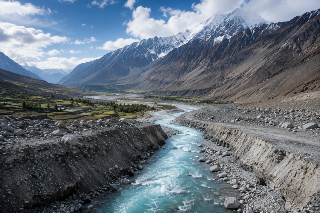
“This is not only a line between two armies. It is a Himalayan water tower on which hundreds of millions of people depend.”
What is at stake
The region commands high-altitude passes and major transport corridors at the crossroads of South Asia, Central Asia and China’s western frontier. Several great rivers sustaining hundreds of millions of people rise in this Himalayan watershed.
India administers Jammu and Kashmir and Ladakh within its constitutional framework; Pakistan administers Azad Jammu and Kashmir and Gilgit-Baltistan under separate arrangements.
| Why it matters Analysts generally judge that no party seeks a large-scale war. But because three nuclear powers are involved, even a localised incident draws immediate global attention — and underlines how much depends on crisis communication channels. |
08
Greenland
Could the world’s largest island become its newest sovereign state?
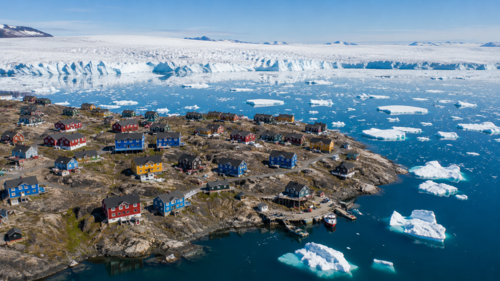
Fewer than 60,000 inhabitants. More than 2.1 million square kilometres. Roughly 80 per cent of the surface covered by an ice sheet whose melt shapes sea levels worldwide.
And one of the more interesting geopolitical questions of the century — because it is being settled neither by war nor by unilateral secession, but by constitutional law.
From colony to self-government
Originally administered as a Danish colony, Greenland obtained Home Rule in 1979, then crossed a decisive threshold with the Self-Government Act of 2009, which transferred further powers and formally recognised the Greenlandic people as a distinct people under international law.
Greenland now manages most internal policy: education, health, fisheries, natural resources, environment, local governance. Copenhagen retains defence, foreign affairs, monetary policy and certain constitutional responsibilities.
The independence question
The 2009 Act explicitly recognises that Greenland’s future constitutional status is for its own population to determine through democratic process.
Support for independence runs across much of the local political spectrum. The disagreement is about timing and economic conditions — not legitimacy.
Because the obstacle is not political but fiscal. Despite substantial natural resources, a small population and limited economic diversification mean public finances still depend heavily on annual transfers from Denmark.
“Greenland shows that the most significant geopolitical transformations of this century may come through constitutional evolution rather than armed conflict.”
The subsoil and the great game
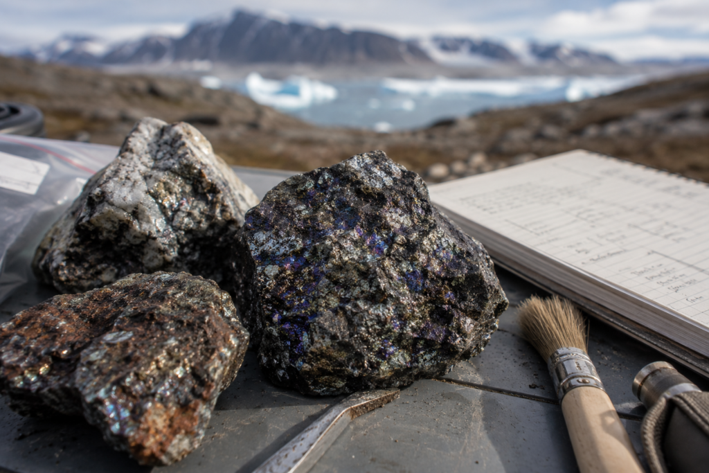
Rare earths, zinc, iron, copper, nickel, gold, uranium, graphite: these are the inputs for electric vehicles, wind turbines, batteries, semiconductors and defence technology. As governments work to diversify critical-mineral supply chains, international attention on Greenland keeps rising.
Location does the rest. The United States has maintained a military presence for decades at Pituffik Space Base, formerly Thule, in the north-west — missile warning, space surveillance, Arctic defence.
The Greenlandic paradox
The ice sheet is losing mass and contributing to sea-level rise worldwide. Simultaneously, that same retreat is exposing inaccessible land, improving access to deposits and lengthening navigation seasons.
The environmental change that threatens the ecosystem is precisely the one raising the island’s strategic value.
| Why it matters Independence would not move any existing border. It would convert an autonomous territory into a sovereign member of the international community — probably the most peaceful and one of the most consequential changes to the modern political map. |
09
The Korean Peninsula
The border that never became a peace
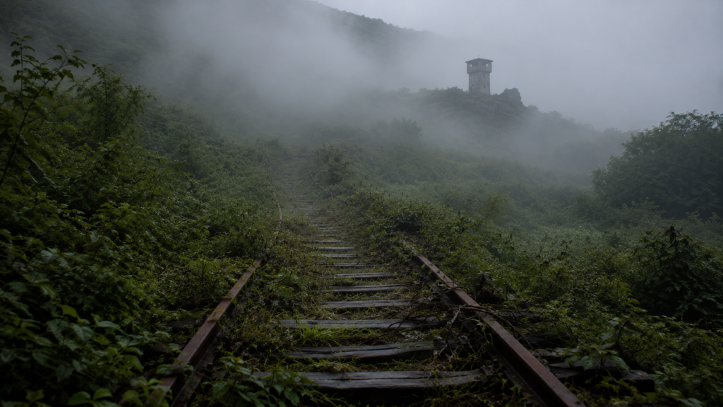
Roughly 250 kilometres. That is the length of the Korean Demilitarized Zone — one of the most heavily fortified frontiers on earth, despite the name.
More than seventy years after the shooting largely stopped, the Korean War has never officially ended. The peninsula lives under an armistice signed in 1953, not a peace treaty.
One nation cut in two
Annexed by Imperial Japan in 1910, Korea was divided along the 38th Parallel after the Japanese surrender in 1945 — the Soviet Union administering the north, the United States the south.
What was meant as a temporary administrative arrangement hardened into permanent political separation. In 1948 two rival governments emerged, each claiming legitimacy over the whole peninsula.
On 25 June 1950 North Korean forces crossed the parallel. Three years of internationalised war followed — United Nations forces led by the United States on one side, Chinese intervention on the other. On 27 July 1953 the Korean Armistice Agreement halted combat without resolving the political conflict.
Technically, the two Koreas remain at war.
“History paused here. It did not stop.”
A demilitarized zone that is not
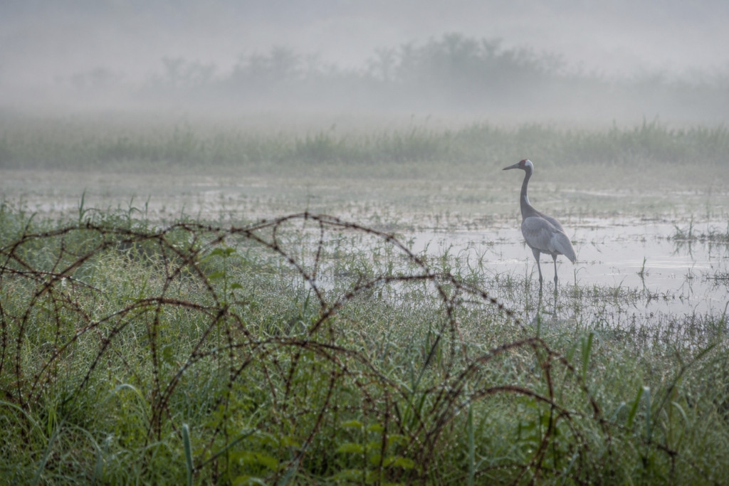
Minefields, observation posts, wire, anti-tank defences, radar, artillery positions, advanced surveillance: forces are barred from the central strip but massed immediately beyond it.
One paradox: with almost no human activity inside for seven decades, much of the zone has become an unexpected refuge for endangered species.
Two divergent trajectories
In the south, one of the world’s leading industrial economies — advanced technology, global corporations, democratic institutions, a popular culture with worldwide reach.
In the north, a highly centralised political system, a state-controlled economy and an emphasis on military development and national self-reliance.
The economic contrast is among the most striking anywhere. And yet many families remain separated, and both societies still share deep historical and cultural ties.
Reunification?
The obstacles are formidable: vast economic gaps, opposed political systems, security concerns, nuclear weapons, humanitarian and administrative challenges, regional strategic interests.
German reunification in 1990 is sometimes raised as a comparison, though the Korean case differs sharply in political, economic and strategic terms.
| Why it matters Any significant change in the peninsula’s political status would reshape Northeast Asia’s security architecture, affect defence planning across the Indo-Pacific, and erase one of the most durable legacies of the Cold War. |
10
Sudan and South Sudan
The world’s newest border, still looking for stability
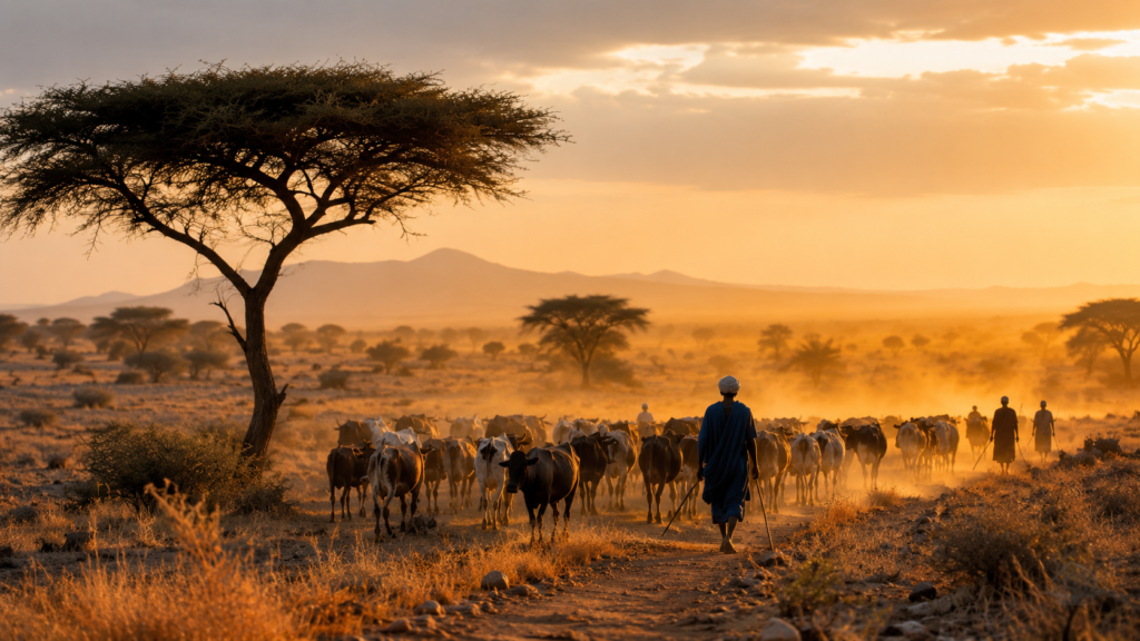
On 9 July 2011 South Sudan became the 193rd member of the United Nations. Proof that a sovereign state can still be born through diplomacy rather than conquest.
But independence did not settle every territorial question. More than a decade later, several stretches of the 2,000-kilometre border remain disputed.
A shared history, opposite realities
For most of the twentieth century the two Sudans were a single country. Yet deep differences separated north and south: ethnicity, language, religion, economic development, historical experience.
After independence in 1956, disagreements over governance, representation and regional autonomy fed two major civil wars — among the longest and deadliest in post-colonial Africa.
The Comprehensive Peace Agreement
In 2005 the Comprehensive Peace Agreement established a framework for ending the conflict and gave the south a period of autonomous self-government, with a guaranteed referendum on its political future.
In January 2011 an overwhelming majority voted for independence. Six months later, South Sudan existed.
The problem: drawing the line
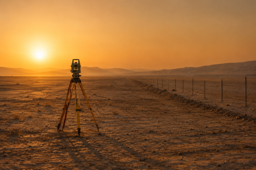
The frontier inherited from the colonial era had never been fully surveyed or marked on the ground. It runs through vast remote areas, thinly populated, crossed by seasonal migration routes.
Turning an administrative boundary into a recognised international frontier requires technical survey, legal agreement and political negotiation — much of it still incomplete.
“Independence is usually the beginning of the state-building process. Never the end of it.”
Abyei, the sharpest point
Sitting on the frontier, Abyei is home to communities with long-standing historical, cultural and economic ties to both countries. Its proximity to oil-producing areas and seasonal grazing routes makes it strategically significant.
The peace agreement provided for a referendum on its status. Disputes over voter eligibility and administrative arrangements have prevented it. Abyei remains under special international arrangements, its final status unresolved, monitored by the UN Interim Security Force for Abyei.
Oil as a forced bond
South Sudan holds most of the region’s known oil reserves. But it is landlocked: its pipelines cross Sudan before reaching export terminals on the Red Sea.
Each therefore depends on the other. Disagreements over transit fees, pipeline access, production levels and revenue sharing have periodically strained the relationship — while mutual economic interest keeps pushing both back to the table.
| Why it matters Sudan is a reminder that borders are rarely settled at the moment they are drawn. Here the line is not contested by an army. It is still, quite literally, being written. |
—
What actually moves a border
The closing argument

Borders almost never change because of a single event. They change at the intersection of several forces at once.
- Military conflict
- Diplomatic negotiation
- Independence movements
- Economic integration
- Climate change
- Resource competition
- Demographic shifts
- International law and arbitration
The novelty of this century sits in that list. Environmental change has joined conventional geopolitics as a first-order factor, particularly in polar regions and low-lying coastal areas.
And yet stability still wins
Despite the headlines, dramatic border change remains the exception rather than the rule.
Since 1945 the international community has broadly favoured preserving existing borders in order to reduce conflict. Most territorial disputes are handled through diplomacy, legal mechanisms or long-run negotiation — not force.
Even in the most contested regions, political outcomes tend to take shape over decades rather than months.
“The world map looks like a finished document. It is only a snapshot — and this century will decide the next frame.”